|
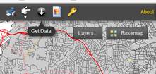
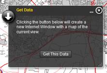
Get Data Opens the Spatial Delivery web
application designed specifically for spatial data extraction. Map will automatically open at current
map extent of thePOINT. |
|
|
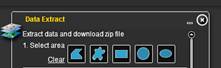
Choose selection tool and highlight
area of interest for data extraction. |
|
|
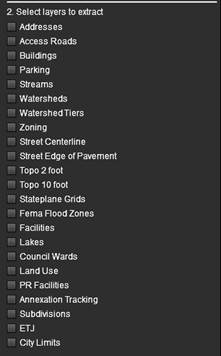
Place a checkmark next to all desired
layers to extract. |
|
|
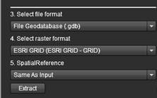
Choose a file format and spatial
reference for the extracted data. |
|
|
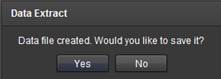
Choose the location to save the file. |
|