|
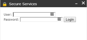
Log In: Enter a valid and current City of High
Point domain user. |
|
|
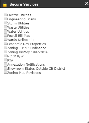
Available layers include Electric Utilities, Engineering Scans, Stormwater Utilities, Wastewater
Utilities, Water Utilities, Powell Bill Map, Wards DelineationEconomic Development
Properties, Zoning-1992 Ordinance, Zoning History, NCRR R/W, RTA, Annexations
Notifications, Showroom Status outside CB District and Zoning Map Revisions. Click on the check box to make these
layers visible. |
|
|
Toggle layer visibility by clicking
the check box again or by clicking the close button marked with an “x”. Closing the tool will require the user
to login again. |
|