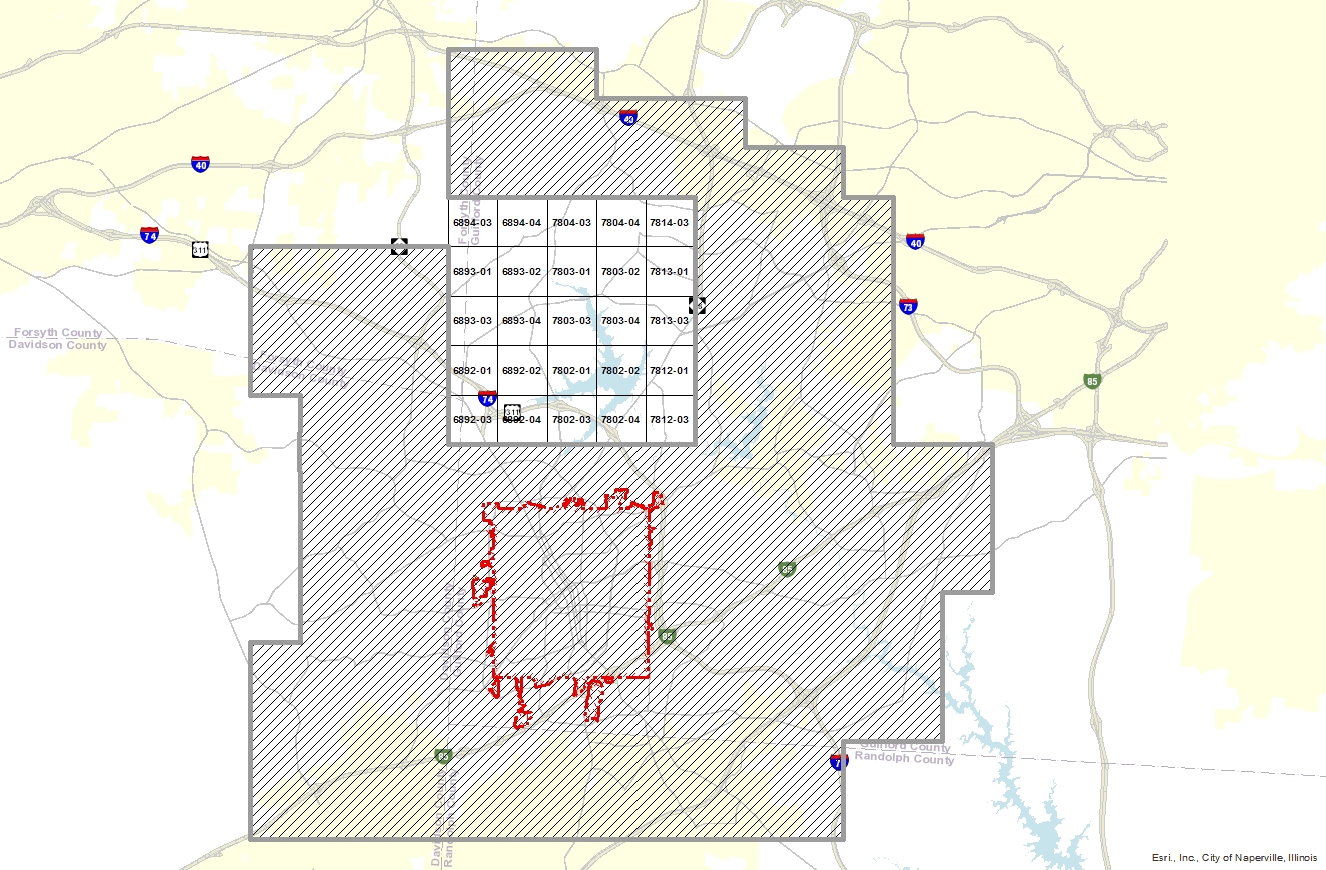
1959 Imagery Download
To avoid excessive download times, the 1959 Aerial photography has been split into different tiles. The tiles are based on the North Carolina State Plane Coordinate reference system using 1983 North American datum. The map here will assist you in identifying the tile you require. To download, simply click on the map within the proper tile.